TOPEAK
Produkte
Pumpen
Werkzeuge
Bikepacking
Taschen
EINSATZBEREICH
E-SUV
Urban / Trekking
MTB
Gravel
Rennrad
WARTUNG
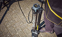
Fahrradpumpen
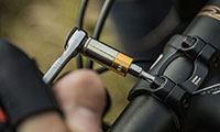
Werkzeuge
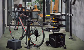
Ständer
TRANSPORT
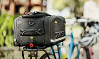
Taschen
Gepäckträger
Flaschenhalter
Körbe
Anhänger
Transportkoffer
SPEZIELLE SERIEN
Neuheiten 2024
TetraRack
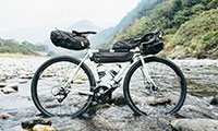
Bikepacking
AirTag
Tubeless
Ninja
Triathlon
COVER
Handyhüllen
Schutzbleche
Bike Cover
SONSTIGES
Halterungen
Ersatzteile
BUYER'S GUIDE
Rennrad
MTB
Fatbike
Urban | Fitness
Trekking | Touring
Zuhause | Shop
Triathlon
Über Topeak
Über Topeak
Technologie
NEWS
RENNTEAMS
TOPEAK WORLD
KUNDENSERVICE
SUCHE
Händlersuche
Wonach suchen Sie?
Suchwort einfügen + Enter drücken
Wählen Sie Ihren Standort
Global
Global
Europe
Deutschland
Asia Pacific
台灣
日本
North America
UNITED STATES
Produkte
E-SUV
Urban / Trekking
MTB
Gravel
Rennrad
Fahrradpumpen
Werkzeuge
Ständer
Taschen
Gepäckträger
Flaschenhalter
Körbe
Anhänger
Transportkoffer
Neuheiten 2024
TetraRack
Bikepacking
AirTag
Tubeless
Ninja
Triathlon
Handyhüllen
Schutzbleche
Bike Cover
Halterungen
Ersatzteile
BUYER'S GUIDE
Rennrad
MTB
Fatbike
Urban | Fitness
Trekking | Touring
Zuhause | Shop
Triathlon
Über Topeak
Über Topeak
Technologie
NEWS
RENNTEAMS
TOPEAK WORLD
KUNDENSERVICE
Page not found
We're sorry, but the page you requested cannot be found.